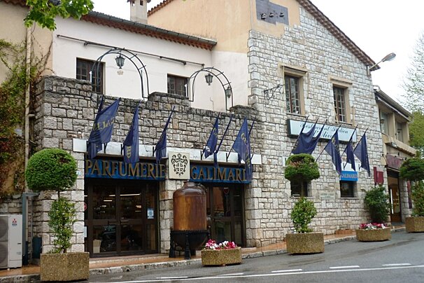
Parfumerie Galimard, Eze
Free guided tours of a historic perfume factory in the medieval village of Eze.

© SeeMonaco.com
A beautiful ridge walk passing old ruins
The airy ridge of Mont Macaron (806m) tapers towards the south and opens up the bare countryside that reflects the heavy price the area paid due to the fire that destroyed much of the scrub in 1986.
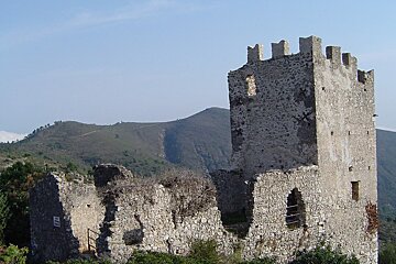
Perched 750m high up on a strategic hill lie the ruins of Chateauneuf. Abandoned in the 18th century the ruins have been maintained by the local community to ensure their survival throughout the years.
IGN map 3742OT is recommended for this walk

Free guided tours of a historic perfume factory in the medieval village of Eze.

This factory for perfume, soap and cosmetics, has very modern laboratories and workshops. Discover the secrets of manufacturing perfumes and cosmetics.

Eze's exotic gardens were created after the Second World War, in the ruins of Eze castle. Located on steep terrain, it boasts wonderful panoramic views of the sea, the Esterel mountains and the Saint-Tropez gulf.

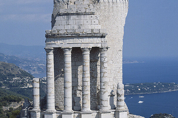
Built in the year 6 BC, the trophy of Augustus honoured Octavius, Caesar's nephew and future emperor under the name of Augustus, who had conquered the Alpine tribes.

This Baroque Italianate church dates to the 1750s, although it was built on the site of a 14th-century church.

At the edge of the sea, facing the Saint-Jean-Cap-Ferrat peninsula, the villa is a magic place that takes you back in time. Discover this French Riviera seaside palazzo, a luxurious recreation of an Ancient Greek villa.

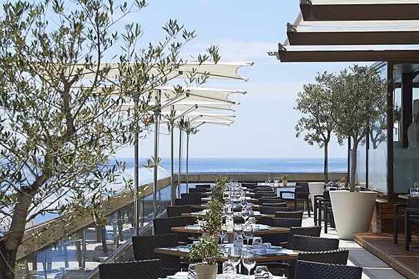
Chef Bruno Cirino prepares Mediterranean dishes that carefully showcase the flavours of local produce. A light and creative cuisine that you can enjoy in their elegant dining room with vaulted ceilings and frescoes or their shaded terrace overlooking the sea.

Considered by many to be the finest restaurant on the Riviera, this Alain Ducasse delight has an opulent and dazzling setting in the heart of the Hôtel de Paris and holds three Michelin stars.

Yoshi Restaurant is located in Hotel Métropole Monte-Carlo and holds one Michelin star.

Views over the Principality's legendary Opera House, Prince's Palace, and Casino - against a backdrop the azure splendour of the Mediterranean.

Located in the Monte-Carlo Bay Resort, this restaurant is open only in the summer and serves Mediterranean cuisine on a pleasant terrace.

The Cap Estel gourmet restaurant or "La Table de Patrick Raingeard" as it is known has one Michelin star.

This company is based in Menton and offers a range of road bikes.

Take a trip onboard this luxury yacht along the Riviera to any destination of your choosing.

Based in Menton, motorbike and scooter rental so you can explore the South of France.

Take a trip onboard this luxury yacht along the Riviera to any destination of your choosing.

Take a trip onboard this luxury yacht along the Riviera to any destination of your choosing.

Take a trip onboard this luxury yacht along the Riviera to any destination of your choosing.
Parking at the Col de Chateauneuf follow the road south for 100m before taking the trail turning off left. This trail leads you to the ruins of Chateauneuf. After visiting the ruins head back along the trail to the Chapelle St-Joseph, signposted from the junction. From here, cross the road and take the Mont Macaron ridge trail leading south easterly. From the summit you are rewarded with magnificent views of the Paillon Valley. Follow the trail to the south peak where you can see the coast on a clear day.
The trail then leads downhill to a junction. Take a right and head back north, this trail flows up and down the mountain leading back to the Chapelle St-Joseph. Once back at the Chapelle take the same route back to the start.
Find out all about what is happening in Monaco and how to make the most of your time here. The latest news, reviews of fun activities, fabulous beaches, current events and the trendiest restaurants, as well as interviews with leading locals, insider's guides and our top choices for things to do, see and experience in this charming Principality.
See allLatest News & ReviewsMonaco is well-known for hosting some of the world's biggest and best events, such as the Monaco Grand Prix, the Monte-Carlo Tennis Masters and the Monaco Yacht Show. Fashion, art and music are also popular – you will find that there are events taking place throughout the year attracting some of the biggest names in these fields.
See allUpcoming Events